Skip to main content
Home
Historical Maps
World History
U.S. History
Canadian History
Canada (English)
Canada (Français)
Old School History Maps
Stories on the Map
Armenia
Assyria
Catalonia
Kurdistan
Palestine
Ukraine
Edmaps +
HISTORICAL MAPS OF KOREA
Map Collections and Atlases
A short history of Korea in eight maps
(The Economist)
Blank and Outline Maps of South Korea
&
Blank and Outline Maps of North Korea
(d-maps.com)
Korea: Historical Maps Collection
(Library of Congress)
Korea: Historical Maps Collection
(Yale University Library Digital Collections)
Korea Maps
(Perry-Castañeda Library Map Collection)
National Atlas of Korea
(National Geography Information Institute - Korea)
Old Maps of Korea
(oldmapsonline.org)
Territorial history of Korea
(National Geography Information Institute - Korea)
Maps
The Empire of Japan (..., with the Kingdom of Corea, from Kempfer and the Portuguese), 1794
(Robert Sayer)
Korea, 1875
(Japanese War Ministry)
Stanford's map of Eastern China, Japan and Korea: the seat of war in 1894
A New Map of the Chinese Empire with Japan and Korea, 1901
(Rand McNally)
Manchuria, Korea and Japan, 1904
(G. H. Walker and Co.)
Korea
and Japan - Political Map, 1920
(J.G. Bartholomew)
Korea, 1928: Railway Connection between Japan and China
Korea, 1929: Administrative Map
Korea: Special Strategic Map, 1943
(U.S. Army)
Asie Est, 1943
(Girard & Barrère)
The Japanese Empire, 1943
(George Philip and Son)
Korea, 1944: Industrial Concentration
(U.S. - O.S.S.)
Japan and Korea in 1945
(National Geographic)
Korea and Manchuria, 1945: Important Mineral and Industrial Concentration
(U.S. Dept. of State)
Korea, 1946: Zones of Occupation
Korea, 1946: Agricultural Production and Communications
(U.S. Dept. of State)
Korean War Topographic Maps (1950-1953
)
Korea. 1952
(U.S. Govt.)
Republic of Korea, 1956
China, Mongolia and Korea, 1967
(J. Bartholomew and Son)
Korea and vicinity, 1998
(National Geographic Institute, Korea)
The Two Koreas, 2003
(National Geographic)
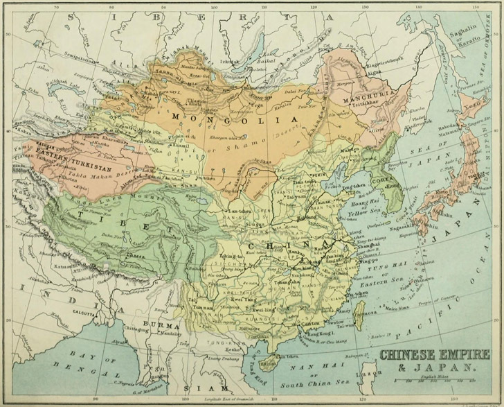
China, Japan & Korea in 1882
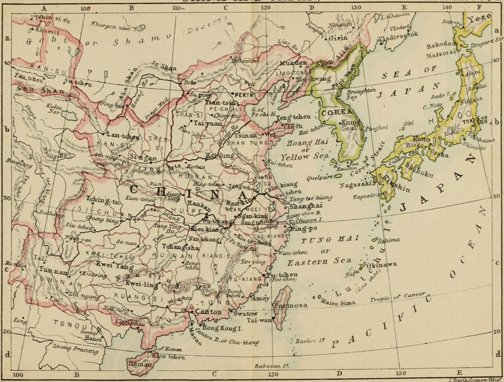
China, Japan & Korea in 1887
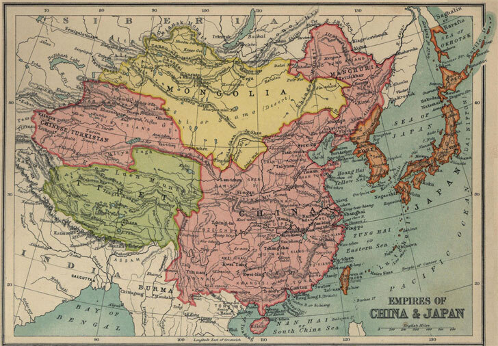
China, Japan & Korea in 1910
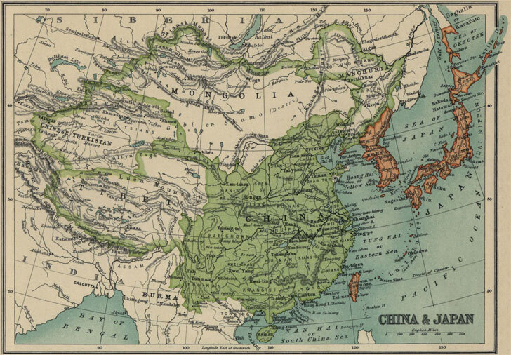
China, Japan & Korea in 1913
Asia
China
India
Japan
Korea
Europe
Latin America
Middle East
Canada
U.S.A.


